
Introduction:
What? :
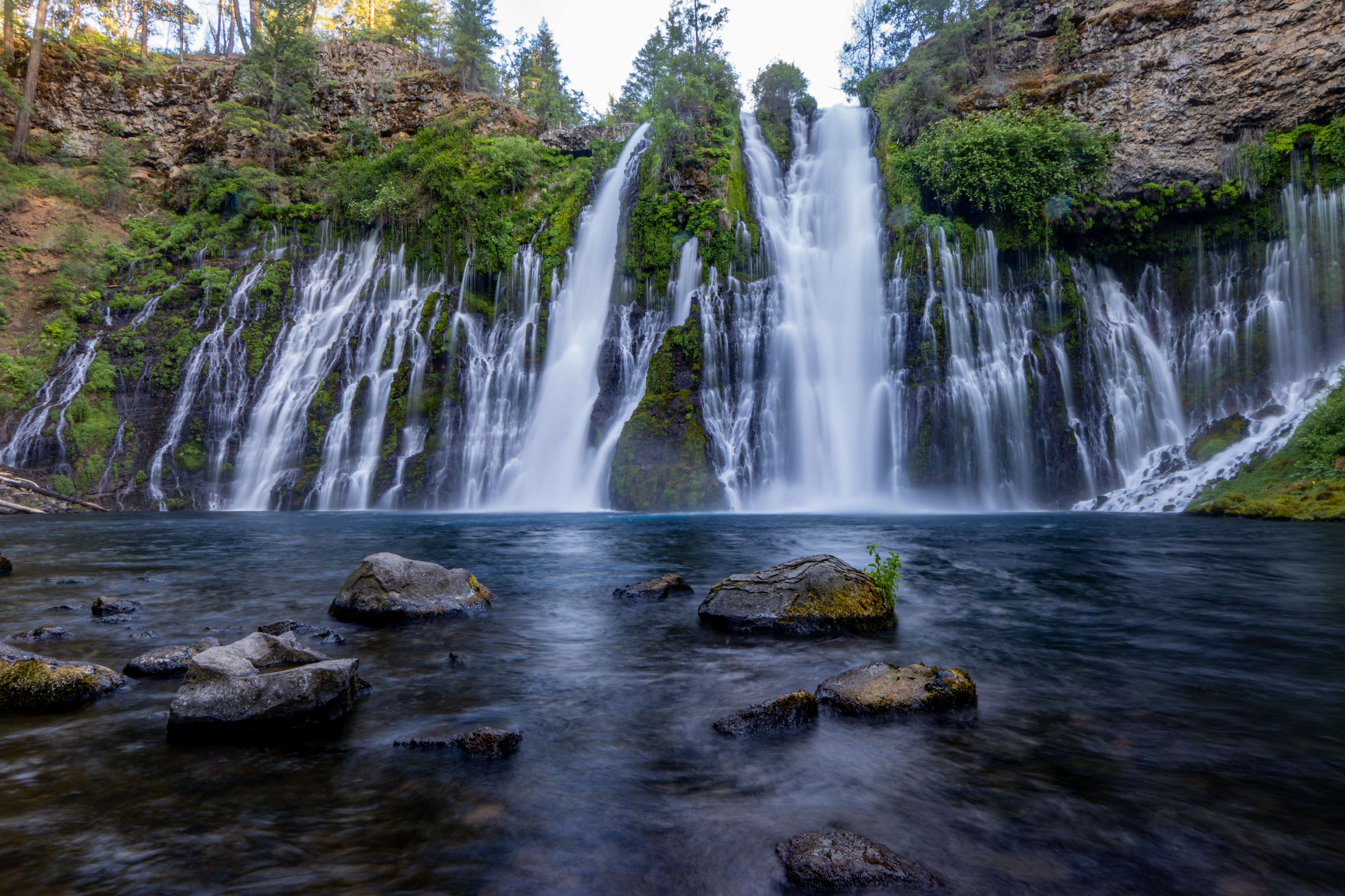
McArthur Burney Falls State Park attraction is Burney Falls, probably one of the most beautiful waterfalls in California. Short trail will take you to the waterfall viewpoint and to the bottom of the waterfall.
Update: Last time I visit this park was at June 2023
This location is part of my "North California Waterfall Loop" road-trip suggestion.


Where? :
The park is located northeast of Redding, six
miles north of Highway 299 on Highway 89 near Burney.
Google Map Link
When? :
Year round, the waterfall is flowing at the same level all year round.
Weather can vary so check
before your visit. Spring and summer weather can be very warm and fall and
winter can be cold.
Due note 1: Come early at
the day or late in the afternoon!
This is very popular park !
It is crowded at summer weekends or holidays.
Park will fill up to
it parking capacity and entrance into the park is subject to closure. when I last visit here at long weekend park entrance was closed around 10am and people parked there car 1 mile from the entrance.


Due note 2: Traffic may be
delayed on highway 89 for up to an hour waiting prior to entering the
park. Please also note that if you park
along Highway 89 outside of the park, your vehicle will be subject to citation
and tow. there is a place to park along the road about 1 mile north of the park entrance.
Due note 3: The Park has a
100 camping sites and number of one- and two-room cabins.
Due note 4: Pets are not
allowed on the trails surrounding the falls, on the beach at Lake Briton, or
allowed to be left unattended in your vehicle.
Due note 5: You can
combine this park visit with several other excellent nearby destinations, see
my Redding and Shasta Waterfalls Loop Road Trip blog
Due note 6: If after your visit here you are heading Redding and you have time to spend I recommend visiting Hatchet Creek Falls or Potem Creek Falls.
My thoughts:
This is one of the
most amazing waterfalls I saw in California, the park worth the visit only for the
waterfall. At the park you can also visit Lake Britton and hike few short
hiking trails.

Addition North California blog posts:- North California - Waterfalls Loop Road-Trip (Redding – Shasta)
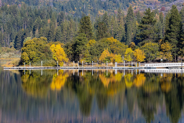
- Lake Britton – The Bridge From the movie "Stand By Me”
- Potem Creek Falls, Shasta-Trinity National Forest
- Hatchet Creek Falls, Shasta County
- McCloud River Falls, Shasta-Trinity National Forest
- Lake Siskiyou and Faery falls, Shasta County
- Heart and Castle Lakes Hike, Shasta County
- Hedge Creek Falls, Shasta County
- Castle Crags State Park
- Redwood Parks at Northern California Coastline – Visit Planning
- Highway 101 Attractions between Leggett to Avenue of the Giants
The visit:
McArthur-Burney Memorial Falls State Park is within the Cascade Range.
It covered with a forest, has five miles of river streamside and access to lake Britton shoreline.
It is the second oldest state park in the California Parks system, located
approximately 6 miles north of Burney on highway 89.
The park's main attraction is the Burney Falls (129-foot).
The river flow is being fed from underground springs and flows down to Lake Britton. The waterfalls are getting a flow of 100 million gallons every day to create the majestic falls.


As stated
above, at summer and holidays come early in the morning or late at the
afternoon, the park can be crowded, you may suffer from long waiting time
before entering the park.
Soon after the
park entrance you will see the visitor center on your right and the parking
lot on your left.
From the parking lot you can hear the waterfall, walk to the nearby overlook, and take the short, paved trail to the bottom of the waterfalls.
The wide, tall wall of
the waterfall is impressive to watch from below.


Hiking:
There are only
five miles of hiking trails in this park so clearly hiking is not the main park
attraction.
The most
popular hike is the 1-mile Falls Loop Trail: this trail starts at the waterfall
base, after going down keep walking along the river and after ¼ of a mile there
is a bridge to cross the river.
From this point
you can hike the 2 miles out and back Burney Creek Trail that follow the river
and will lead you to Lake Britton shoreline and lake marina (this trail was
close when I visit the park).
Cross the
bridge to the far side of the river and keep walking on Falls Loop Trail.

The trail climbs
back to the waterfall, you do not have any good waterfall viewing point from
this side of the trail.
You will climb above the waterfall and reach the river level, a large bridge cross the river back to the visitor center side, shortly after that you will reach the parking lot.


2.5 mile long loop along the river:

Start your hike at the parking lot, go to the viewing platform above the waterfall.
From here you need to hike left on the trail leading above the waterfall along the road.
Pass a small parking lot and get into the clear trail heading up the river (do not cross the bridge here).

The trail is following the river for another half a mile, here you will connect to the PCT trail and you will see a large wooden bridge crossing the river.


After crossing the river the trail heading right heading west, at this section the trail is not near the river but rather is a flat forest land.

At the end of this section you will reach a trail junction, turn right and than left (if you will cross the bridge here you will go back to the parking lot).
After turning left the trail will lead you to the bottom of the canyon downstream the waterfall, you do not have a good view of the waterfall from this section of the trail.
Soon you will reach to another bridge over the river, cross it and turn right (the trail left that is leading to the lake is close).

After short easy walk you will reach the base of the waterfall, enjoy the view.
After resting and enjoying the waterfall view, walk up on the paved road back to the parking lot and you starting point.

www:
https://www.parks.ca.gov/?page_id=455
https://www.parks.ca.gov/?page_id=25720
Map:
https://www.parks.ca.gov/pages/455/files/mcarthurburneyfallsmemorialspfinalweblayout120816.pdf
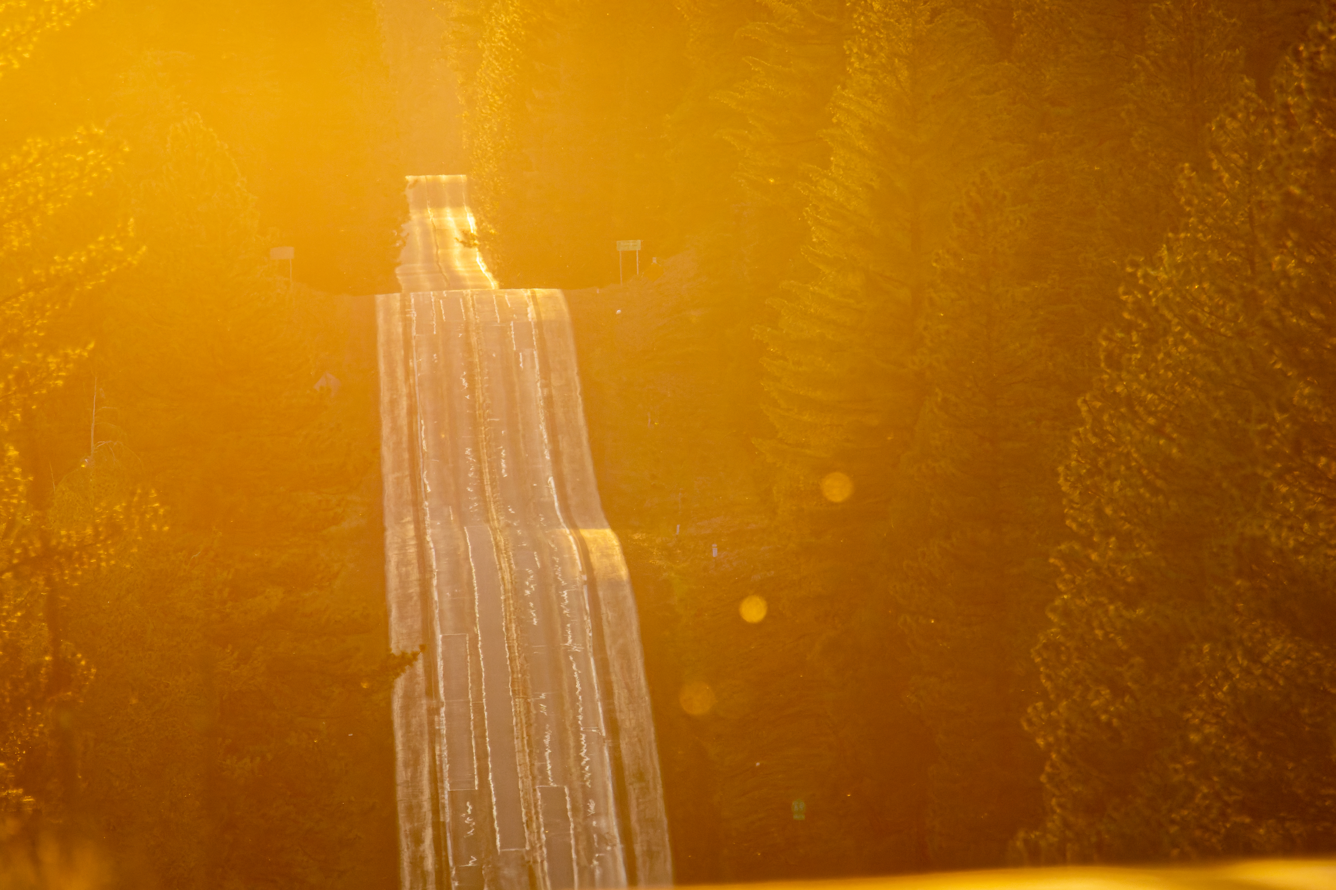
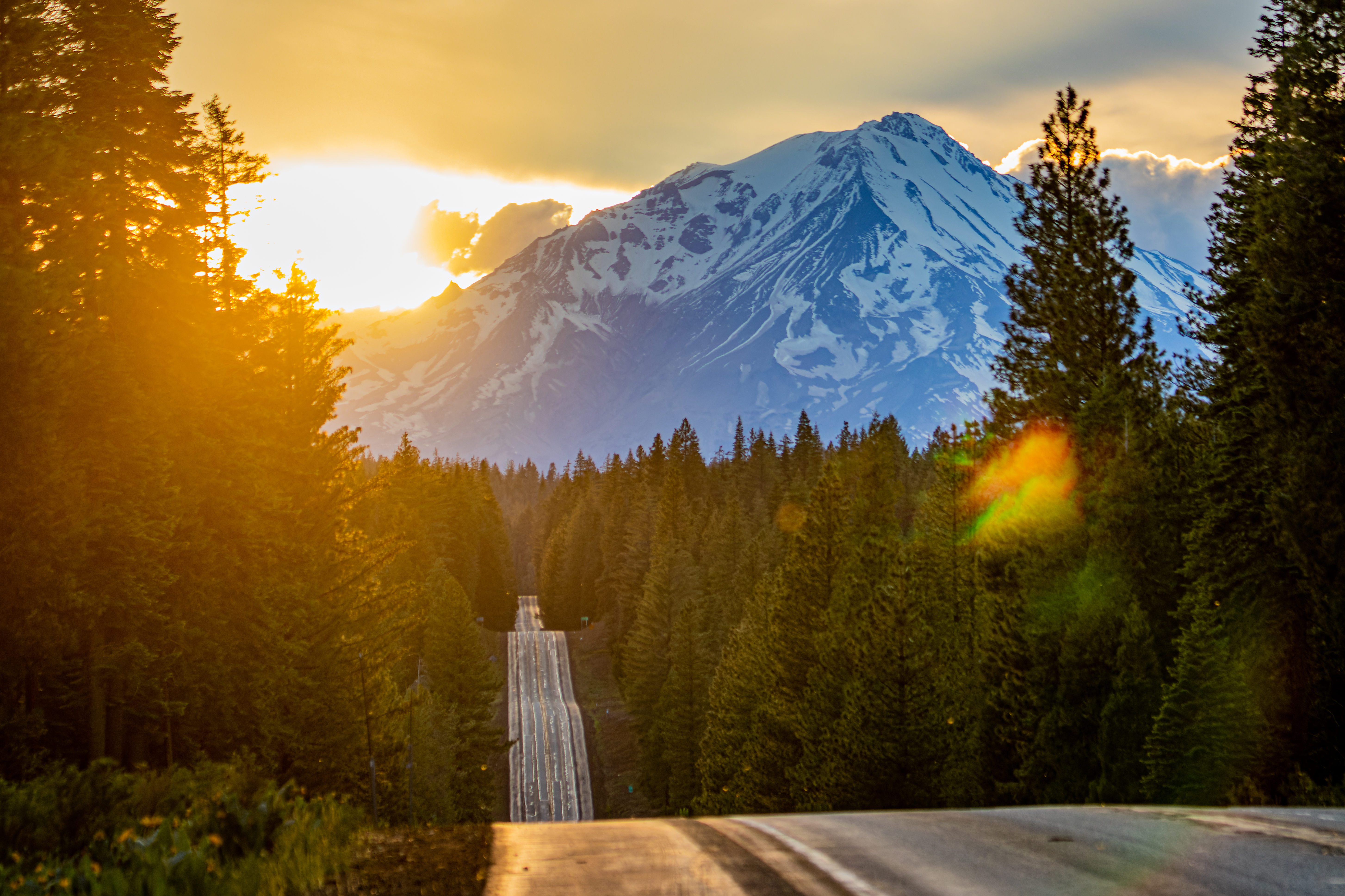
Additional Pictures:


Pictures from my 2022 June Visit:


Pictures from my 2022 June Visit:


Your site is wonderful. I'm going to reference this a lot. I am so happy to find it, the photos and the great information. Your links are super helful too. Nice work and thank you!
ReplyDelete