
Introduction:
What? :
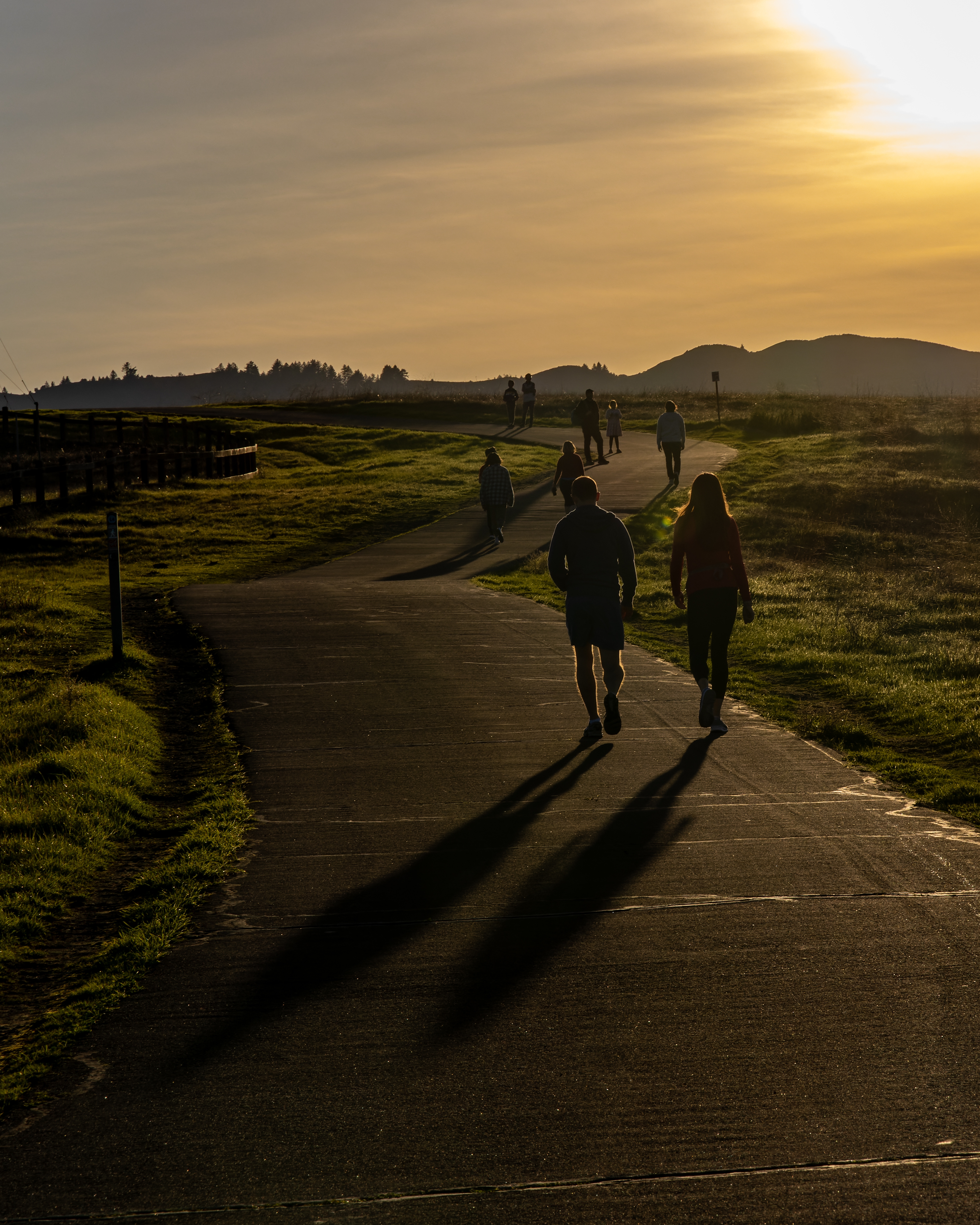
An easy walk at
Stanford Dish Park in Palo Alto.
The park paved trail
moderately climb Palo Alto rolling hills with their open grassland landscape. The
loop trail passing near a large Radio Antenna and provide nice view of the
south bay area.


For a Beautiful Nature Prints - Visit my Etsy Store
Where? :
Located in Palo
Alto, south of Stanford university bordering the 280 highway.
Google Map Link

When? : Year round


Due note 1: This is a very
popular area for running and walking so expect to see here many other visitors,
especially during weekends.

Due note 2: During
weekends the parking near the entrances can be full, and you will need to look
for available parking spots nearby.
Due note 3: The private
park is open to the public from approximately sunrise to sunset throughout the
year.
Due note 4: No dogs or
bicycles are allowed in the park.
Due note 5: There is one
portable restroom location at Stanford Ave. main gate entrance.

My thoughts:
This is a
popular local park and walking here is relatively easy walk on a paved trail.
I visit here
only once and consider this park as more of a place to run/walk and not so much
as real “nature” park. The open hill landscape is fun to visit but this is more
like city nature paved trail hike and less as a “real” park.

The visit:
In the hart of
the park on top of the hill there is a large Radio Antenna Dish.
The
150-foot-diameter dish was built in 1961 by the Stanford Research Institute and
it is still active today.
The park has few regulated gates:
Stanford Gate (the park main
park gate), Frenchman's Gate and Gerona Gate are all
located along Junipero Serra Blvd.
The main car
parking lot is near Stanford Gat
There is
another park entrance, Alpine Gate on Piers Lane.


In the park
there is a 3.5-mile recreational paved loop trail and you can do it any
direction you want.
The trail climb
the hills moderately all the way to the largest antenna dish and you can enjoy
the open grassland and the view down to Palo Alto and the south bay area below
and the Santa Cruz Mountain range to the southwest.


www:
https://dish.stanford.edu/
https://dish.stanford.edu/plan-your-visit/trail-information
Map:
http://www.trailstompers.com/uploads/2/6/8/6/2686411/stanford_dish_trail_run_map.pdf

Additional Pictures:


The views from the Stanford Dish trail are simply breathtaking- especially at sunset! Staring at the view, I could not help but think of how tranquil it is to be at the Dish after a busy day of searching Write My Law Assignment For Me.
ReplyDelete