
Introduction:
What? :
Driving this
long stretch of straight road demonstrate another side of America.
Small remote
towns, crumbling communities that were left behind when economic situation
changed.
Vast open and endless
desert land but in contrast also large agricultural lands irrigated by water coming
from the Colorado river.
It was a fun 2.5-hour
drive (152 mile) into the sunset.


Where? :
Located in
central Arizona north of Phoenix.
This road is parallel
to the interstate highway I-10.
Google Map Link


When? :
I drove this
road mid-April 2023, a year with record winter rain, all was green.
At summer it is
extremely hot in the Sonoran desert and day temperatures can get to 110-120 f.

Due note 1: From I-17, highway
74, 60, I10 all the way to the Arizona / California boarder on the Colorado river
it is 152 miles, and it will take you without a stop about 2.5 hours’ drive.
Due note 2: There are gas
stations along the road, but my advice is to fill you gas tank at Wickenburg (there
are many gas stations here) or if you are coming from the west and driving east,
I recommend filling up your gas at Quartzsite.
Due note 3: Travelers
service, stores and large communities are Wickenburg and Quartzsite.

My thoughts:
I was coming
south from Sedona on I 17 and I wanted to drive west to California. I can took
I-10 but I preferred to drive the parallel side roads.
I started my
drive west from highway 17 heading west on highway 74, passing near Lake
Pleasant Regional Park.
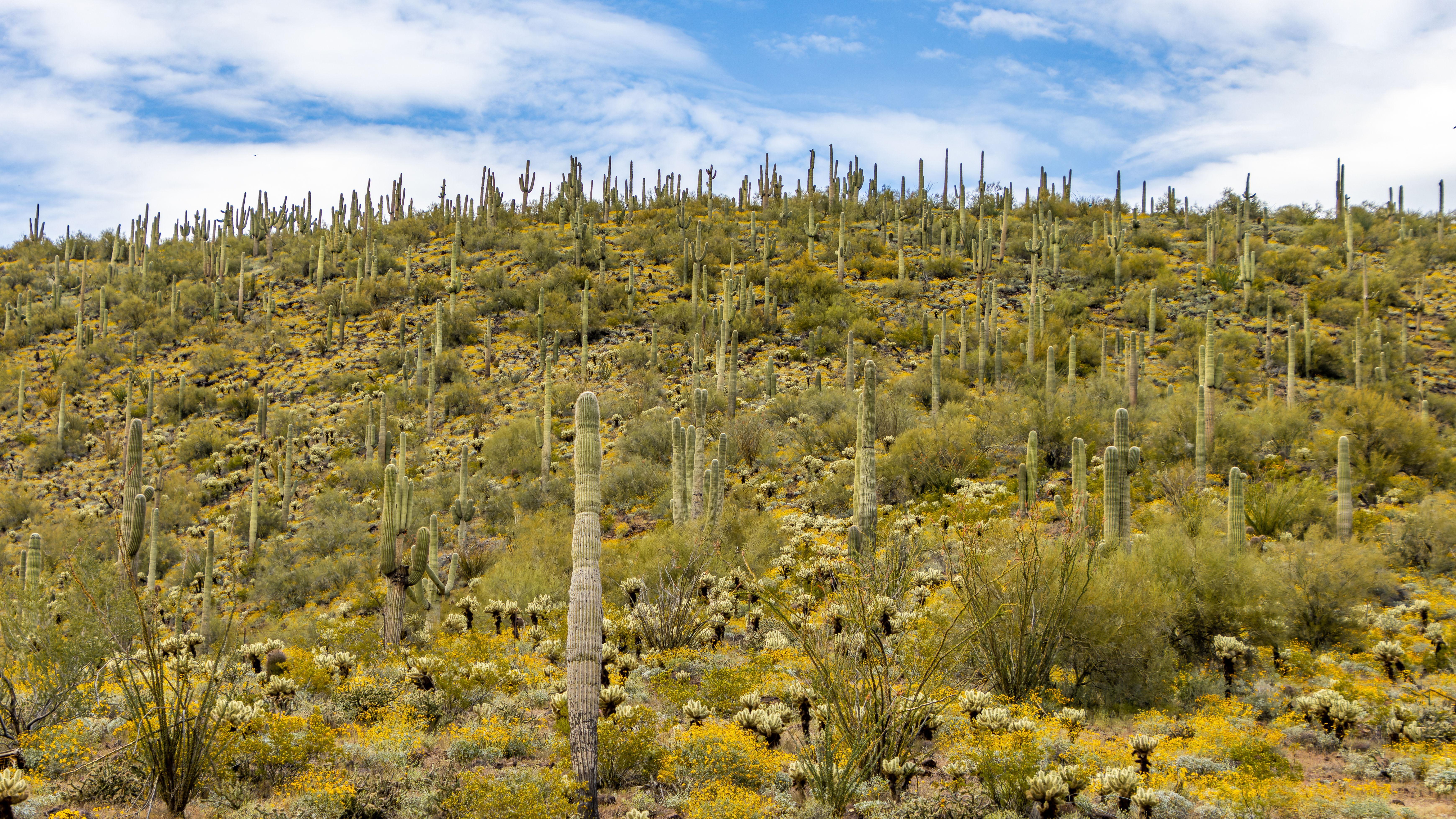
I stop on the
side of the road in few places and took pictures of Arizona Sonoran Desert
Saguaros and the blooming flowers.
After rainy
winter of 2023 the desert was blooming with flowers and all the hills are green,
something you do not see a lot.

Many years ago,
we live in Arizona for almost 2 years, but I still amaze every time from the
size of the saguaro cactus, and I never saw the desert so green.
I kept driving west on highway 60, passing through Wickenburg.

From there the road cover the
vast flat landscape all the way west until it connect to I-10 not so far from
the Colorado crossing and the California boarder.


Driving this
long stretch of straight road demonstrate another side of America. Small remote
towns, crumbling communities that were left behind when economic situation
changed. Vast open and endless desert land but in contrast also large
agricultural lands irrigated by water coming from the Colorado river.

It was
interesting and relaxing drive, I stop in several places along the road, taking
pictures.

It start to get
late in the afternoon, I drove west into the setting sun and when I reach Quartzsite
on I-10 it was already dark.
Additional Pictures:


Comments
Post a Comment