
Introduction:
What? : Mt. Diablo State Park is formed around the 3,849 feet Mount Diablo near Danville, CA. Many visitors to Mount Diablo head straight for the Summit to enjoy the view but I recommend to combine this with one of the many hiking option this park has to offer, see below for different hiking recommendations.
The large 20,000 acres park has unique geological landmarks and many outdoor recreational activities options, including: hiking, cycling and mountain biking.


Where? :
South Gate
Entrance:
Take Highway
680 to Danville. Exit El Cerro Road and follow until it turns into Diablo Rd.
Turn on Alameda Diablo and follow until South Gate Rd.
Google Map Link
North Gate Entrance:
Take Highway 680 to Walnut Creek. Exit Ygnacio Valley Road, turn on Oak Grove Rd. and continue until it turns into North Gate Rd.
Google Map Link
When? : The park is
open year round. At winter it can get some snowfall and in very hot summer days
the park may be subject to closure due to extreme fire danger.
At cloudy days
you can have full coverage of cloud with no or limited visibility. At summer
days the haze and the hot atmosphere will limit the visibility.
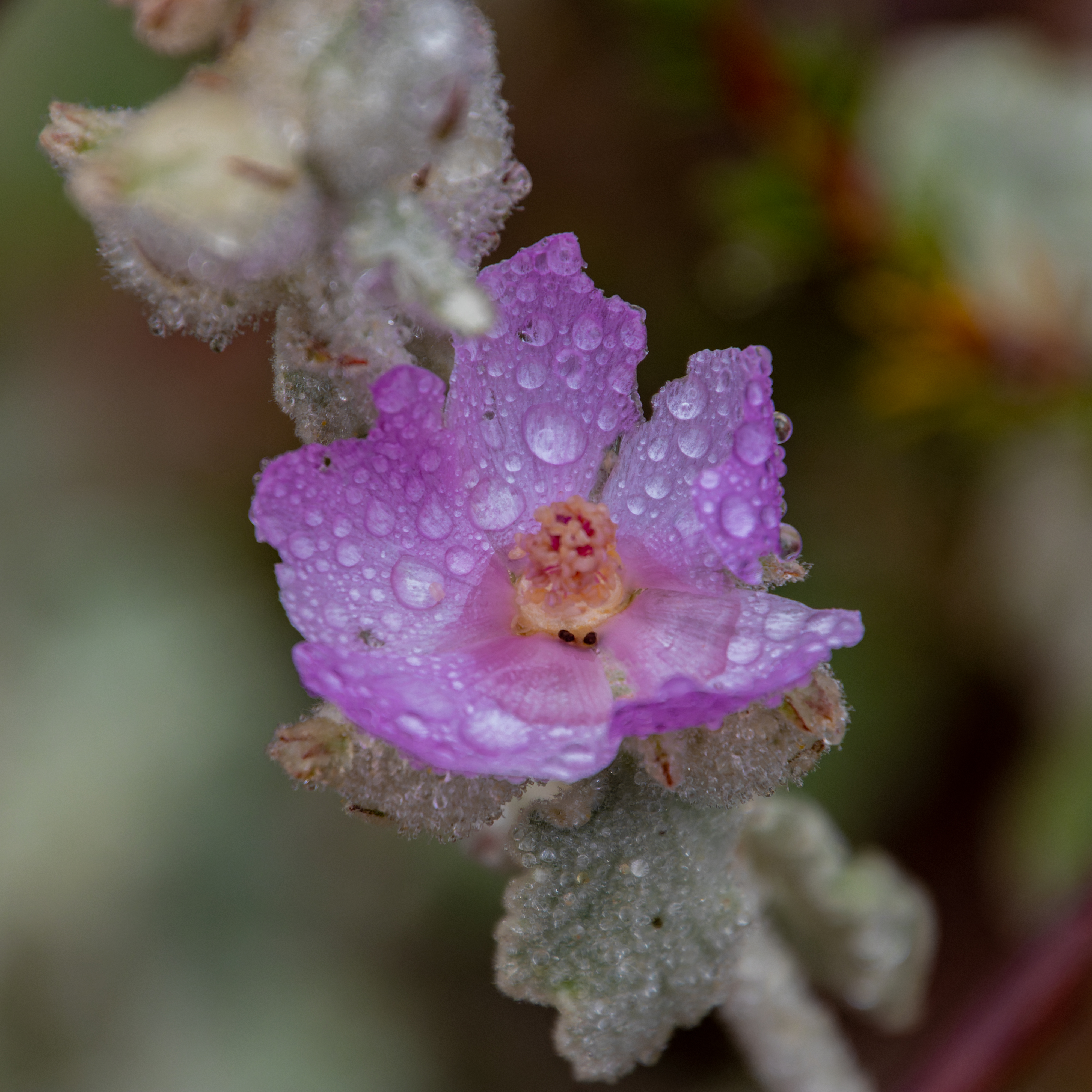
The best time
to visit here is at nice winter day or early spring where all is green, and you
can enjoy the flowers.

Due note 1: Mt. Diablo
State Park is a world-class venue for mountain bikers and road cyclists. When driving
on the park roads watch for cyclists on the main park road. Stay in your lane
on blind curves and do not cut corners. Pass with care only when you have good visibility
forward and you can see for sure there is no other incoming car or cyclist.


Due note 2: At winter and
cold days Mt. Diablo can have it “own weather”, especially near the top of the
mountain, check in advance and come prepared.
In cloudy days
the summit can be completely covered with clouds and fog with no visibility.
Due note 3: There is 10$ per
vehicle day use entry fee to the park and you pay it at the Gate Entrance. Gates are closed to arriving visitors at sunset.
Due note 4: There are 3
large campgrounds in the park. Alcohol is strictly forbidden in the park. Campsites
fires are allowed only during the wet season (December through April), and only
in sanctioned fire pits.
Due note 5: Dogs allowed
only on paved roads, campgrounds, and developed areas. Dogs not allowed on
trails or fire roads.

Due note 6: During the
fire season (generally May to October), the park is subject to closure due to
extreme fire danger. Campers must call the park at 925-837-2525 or 925-837-0904
one day prior to their arrival to confirm park status.
Due note 7: The use of drone
and at Mount Diablo State Park is prohibited.
My thoughts: I visit this
park several times and even spend one night camping near the summit. This is a
big park with many hiking options, most involved with climbing on of the park mountain
peaks. You can also have shorter and easier hikes and enjoy the view from the
summit.


The visit:
As I wrote
above there are 2 road entrances into the park, both roads meet at Junction
Ranger station and from there the park main road reaches the summit of the
mountain, where there is a visitors center housing an observation deck and
natural history exhibits.
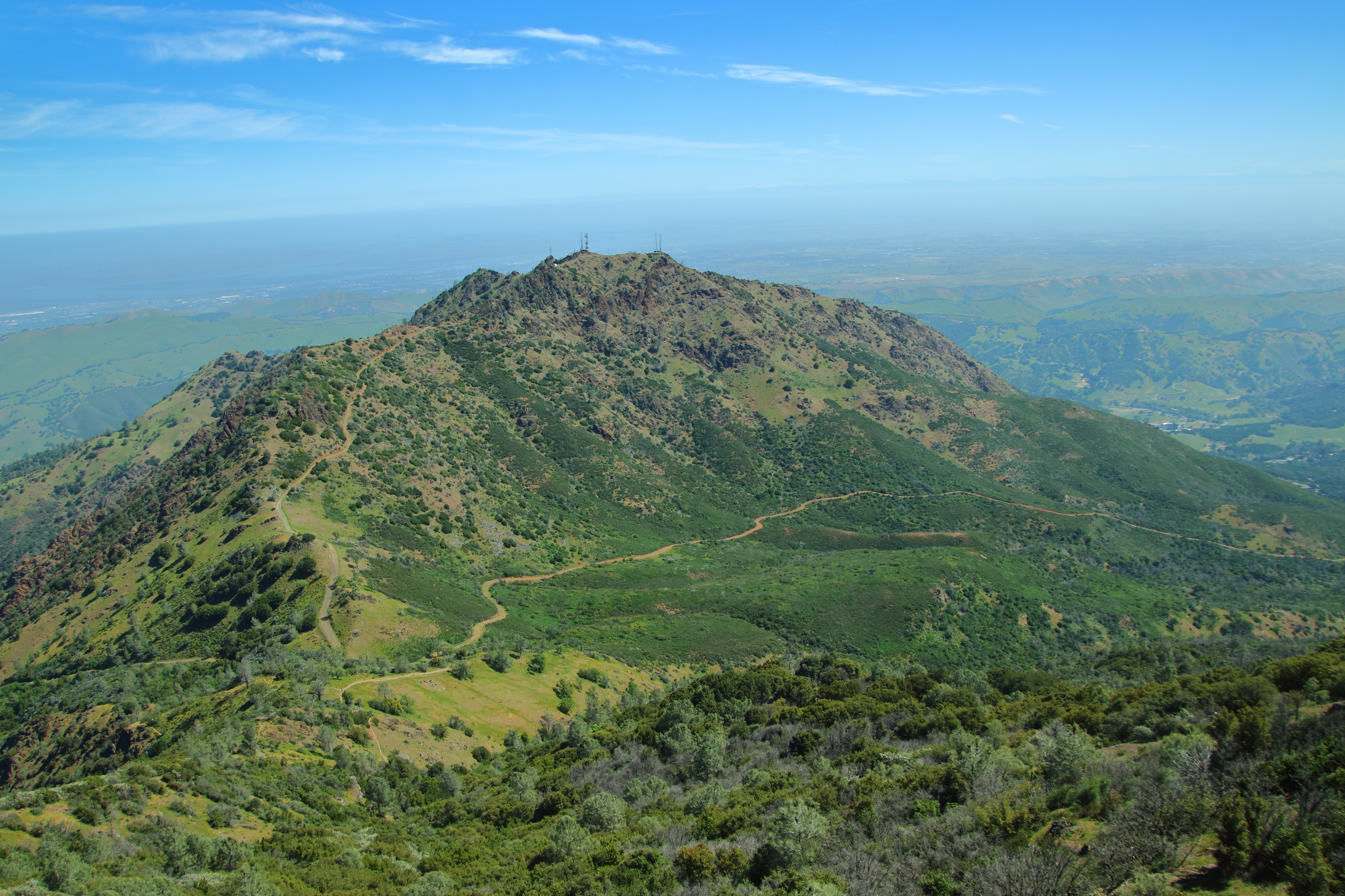
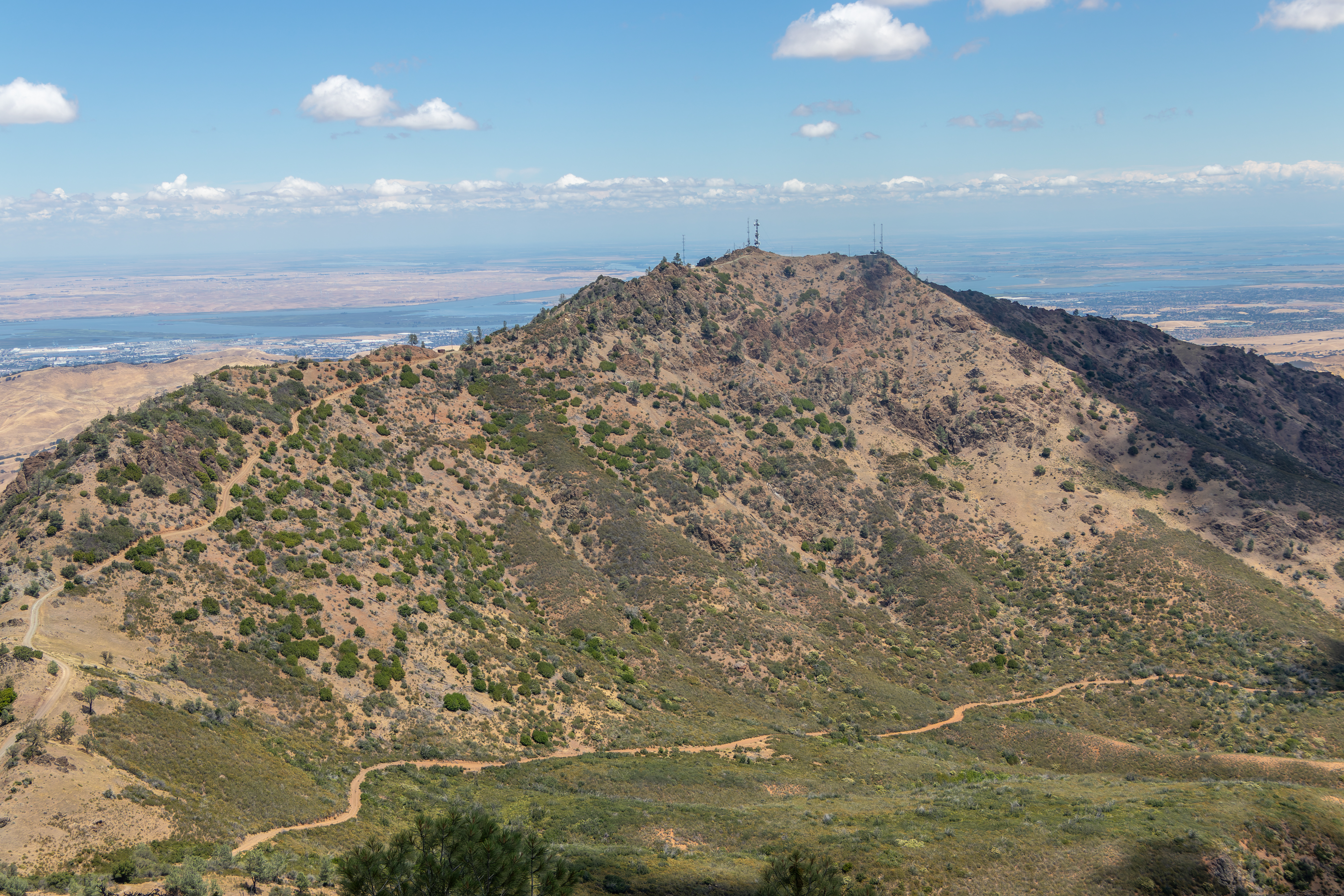
Mount Diablo is
part of the Diablo Mountain range. You can view the bay area and the city of San
Francisco as cornered by 4 high mountains, Mount Diablo (3849) is the Northeast
corner and the other 3 mountains are: Mount Hamilton (4213ft, Southeast), Mount
Umunhum (3486ft, Southwest), Mount
Tamp (2,579ft, Northwest).

At the end of
the winding road climbing up the mountain and reaching the mountain summit you
can find the visitor center, museum, and the observation deck.
Mount Diablo
isn't particularly tall (3,849 feet), however, it is surrounded by relatively low
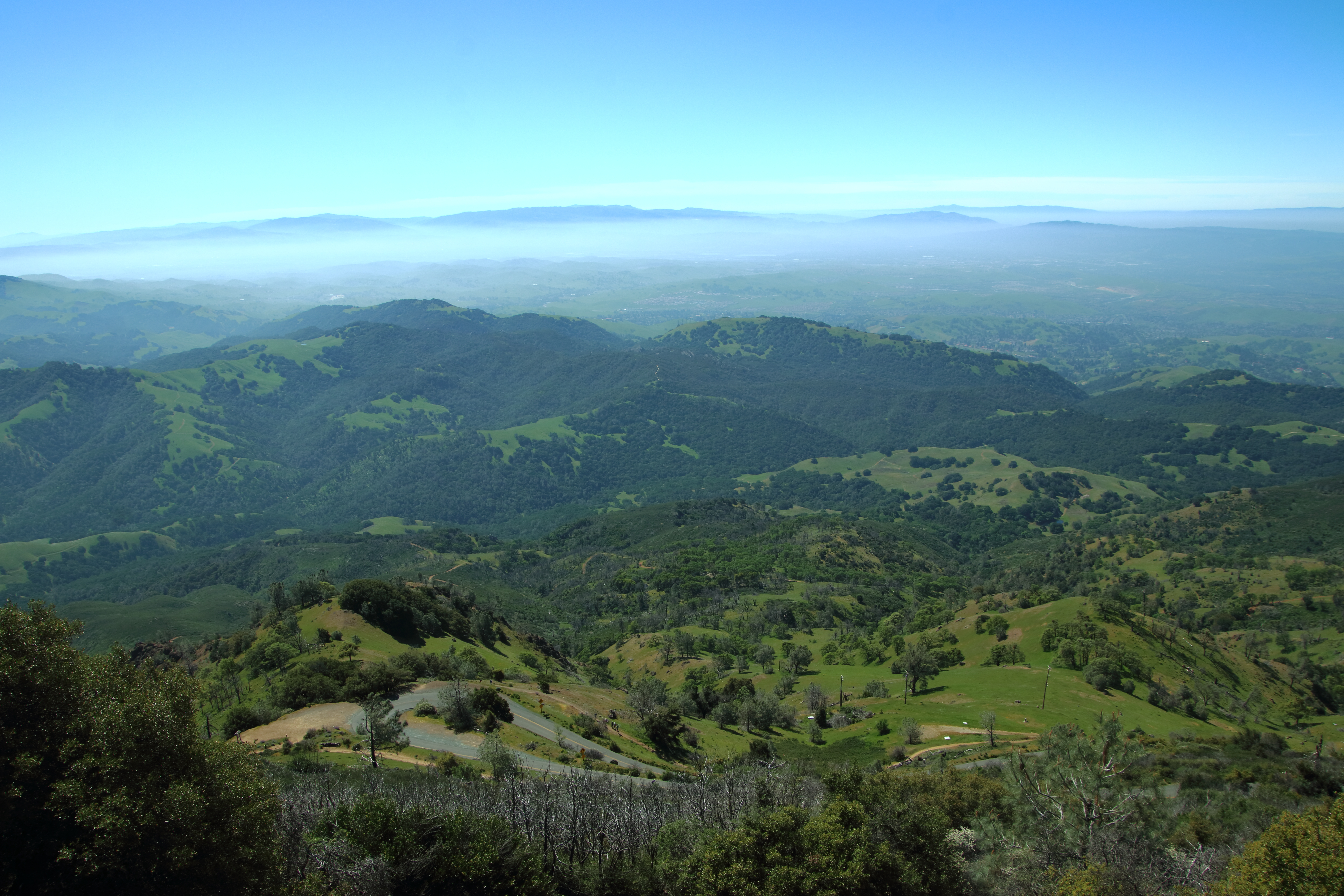
hills and flat valleys, so the panoramic view from the Summit is remarkable.
You can see the
entire Bay area to the west and major portions of Central Valley to the east.
North of the mountain you can see the Delta of San Joaquin and Sacramento
Rivers flowing into the San Francisco Bay.


On a clear day,
usually at winter after rain, you can see for many 10’s of miles in every direction,
the Sierra Nevada range that is on the east side of the central valley is clearly
visible from the summit.
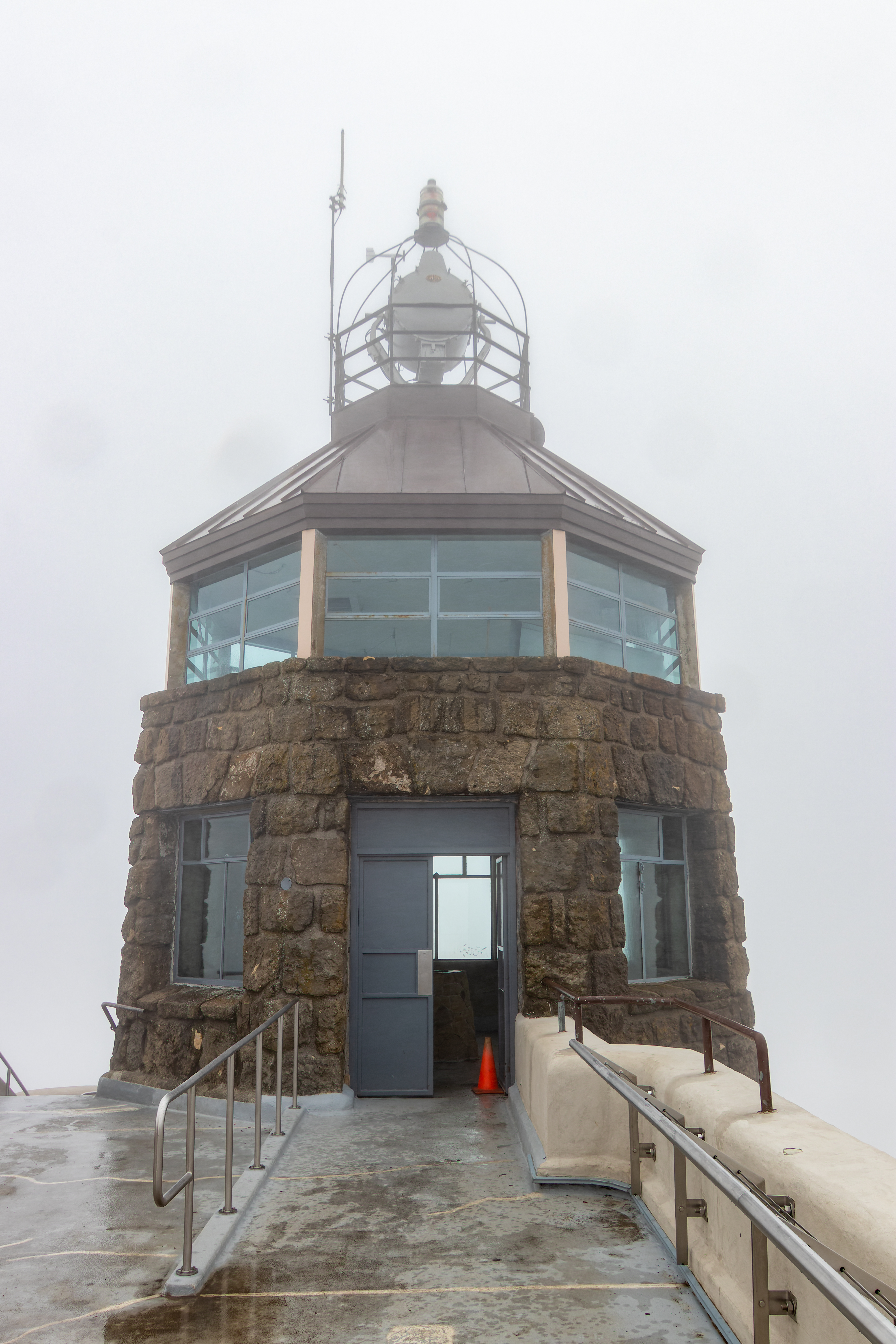
An aerial
navigation beacon, the Standard Diablo stone tower, was built by Standard Oil
at the summit in 1928. The 10-million-candlepower beacon became known as the
"Eye of Diablo" and was visible for a hundred miles and helped with
arial traffic navigation for many years.

Hiking:
I saw somewhere
that there are 520 miles of hiking trails in Mount Diablo area, I only did few hikes
and this is what I will describe below.
I will provide
information on 2 easy hikes, one that is 6 mile long and the last one is 12.5 miles
long hike that climb up the mountain from the north Mitchell Canyon Visitor
Center.
I did not hike
the most popular hike in the park: Mount Diablo Via Summit Trail, this is 7-mile
out-and-back trail that is climbing the mountain parallel to the road, I saw
many hikers that are doing this hike during weekends

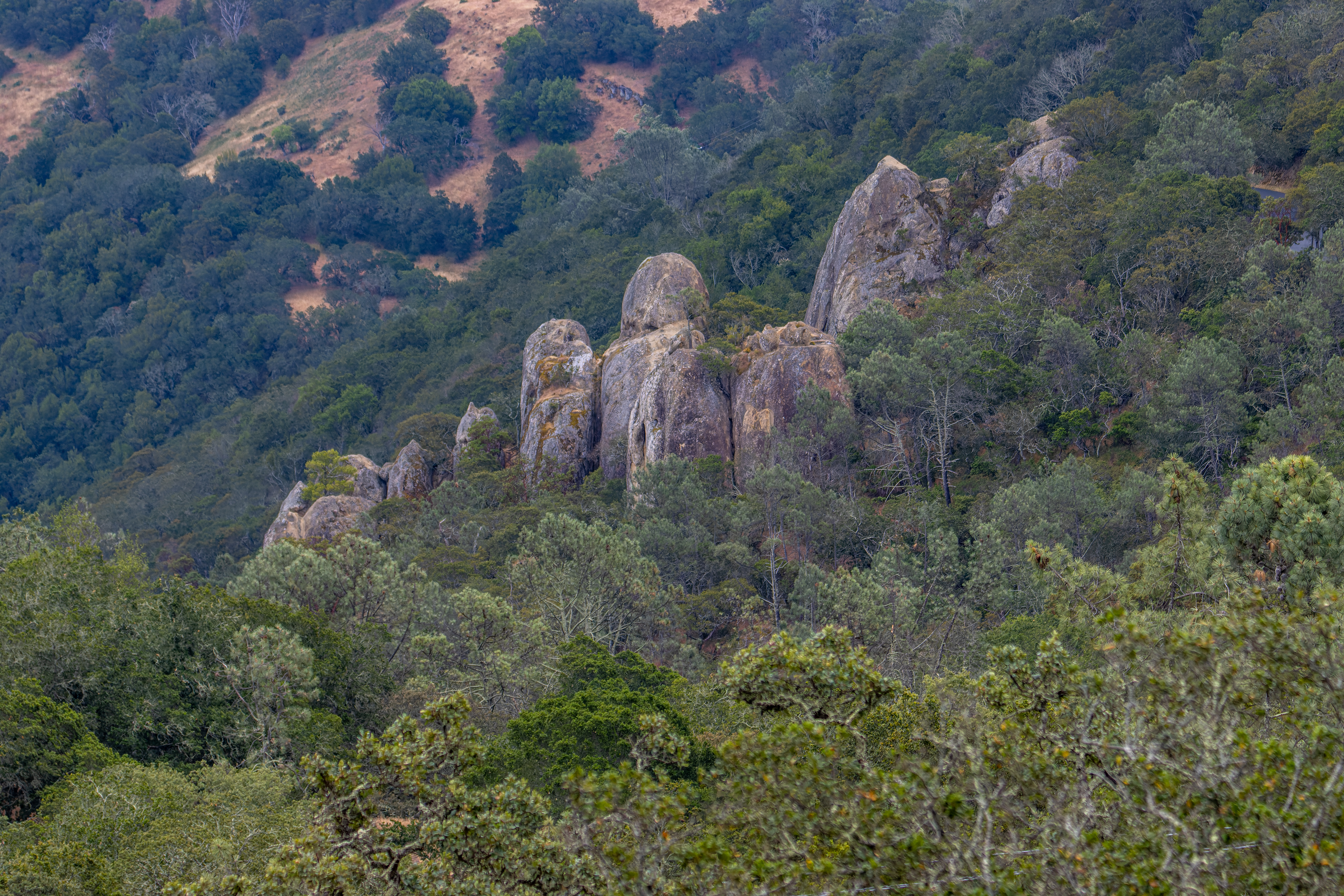
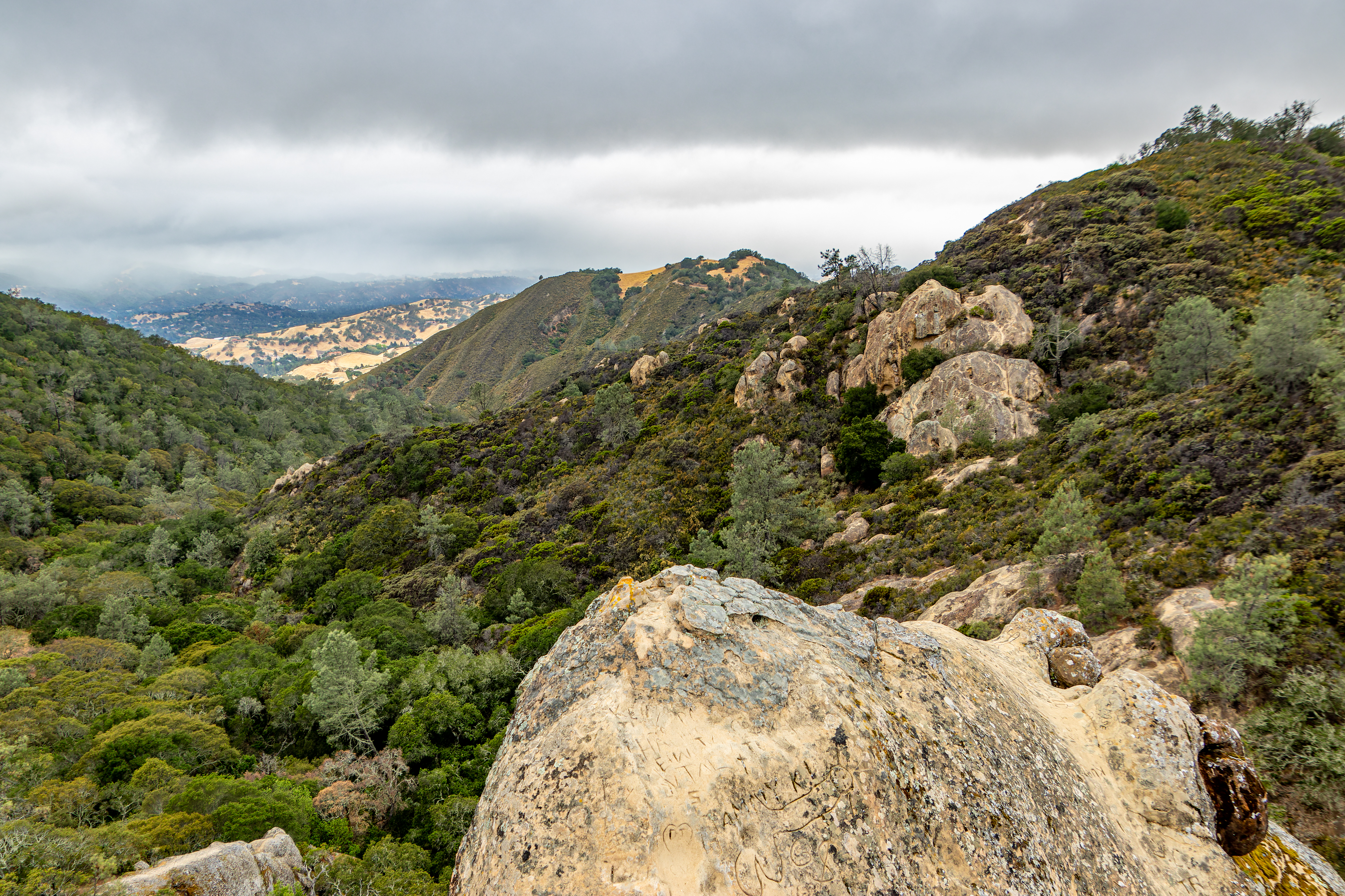
Rock City:
I hiked for 1.7
mile and explore the Rock City area for almost hour and a half.
Kids will like
this hike, especially the rock-climbing and exploration section.


Starting point: This popular hiking
area is located one mile after the south park entrance, once you are approaching
the area turn left into a side road and find parking spot.
The trail starts
at the parking. I will recommend hiking first to the lower campground and there
find the narrow trail that start just at the first campsite, this trail name
Summit Trail.
Hike up the
valley on Summit Trail for about 0.55 mile and there you will reach a trail
junction with a road, here take right into Rock City Trail.


After very
short trail you will see observation area, another trail fork from here to the
right.
This trail
climbs over the rocks and heading down northwest to the pointing rock below
you.
Follow that
trail and find your way down and climb up from the left side to the small fence
protected viewing point.
From here you
can walk back the same way you came down or you can find another trail that led
you back and up to Rock City Trail, from there it an easy short hike back to the
parking lot.
When I visit
here on early Sunday morning, I saw many people that brought their remote cars
and drove on the exposed rocks.

Summit Base Loop:
This is an easy
1.2-mile hike that circle the base of the mountain summit and after finishing
the circle you can hike up to the visitor center and observation deck.
You should plan
for at list one and a half hour for this short hike, you will probably want to
spend time at the museum and the observation deck.

Starting point: Drive up the
summit road and just before the last ascend section to the summit there is a
large parking lot entrance on your right. Turn into the parking lot and park
your car.
From the
parking lot walk a very short distance in the direction of the summit and find
the trail entrance to the Fire Interpretive Trail (do not hike by mistake into Summit
trail that will lead you down).
The trail stays
at the same level and circle the summit.

While hiking
you can see the landscape in each direction. At the north section of the trail,
you will reach wheelchair accessible viewing deck and from here a short walk on
the paved trail will bring you back to the main road.

Now you need to
cross the road and get into the trail that is leading to the summit and the
visitor center.
Visit the
summit and once you are done you need to hike back to the parking lot.
Summit Long Loop Trail:
This longer and
more challenging hiking option is 5-miles-long loop trail that climb the summit
from Juniper Campground with overall 1350ft elevation gain, plan for at list 2.5-3
hours hike.

Starting point: Main Park Road,
Juniper Campground, Diablo Valley Overlook parking lot.
From the
parking lot get into the campground and cross it all the way to the north side.
Here just at the road gate there is a small Juniper Trail heading south.
Hike down for
1.1 miles on Juniper Trail, here you will cross to the other side of Summit
Road.
Keep walking to
the water facility on the left side of the road and find the Summit Trail
leading up. Soon after you hike on Summit Trail you will pass near the large
water tank, keep hiking up the trail.
After one mile
of climbing, you will reach the U bend in the road, turn left, and keep hiking
up (do not take North Peak Trail by mistake).

After short
climb you will reach to the road (the large Parking lot will be on your left),
turn right, start to walk into the summit direction and find the entrance into Fire
Interpretive Trail, this easy trail section circles the summit. Hike here for
0.7-mile and you will reach the road, cross the road, and hike up at the trail
leading to the summit and the visitor center (see Summit Base Loop for more details).

Once you start
to hike down you need to walk into the large parking lot and find the trail
that is located on the far-right end of the lot.
After 0.2 mile
the trail cross the road and after additional 1 mile of downhill walk you will
reach back to the parking lot you left your car.

Mitchell Canyon Visitor Center to
Summit - Loop Hike:
This is 12.5
miles long hike with 3,500 ft elevation gain, it will take you 6-7 hours so
plan accordingly.
Starting point: Mitchell
Canyon Visitor Center at the park north section (visitor center is operative
during weekends).
I did this hike
5 years ago so I do not know what trail conditions are today.

You will start
your hike heading south on Mitchell Canyon Fire Road, after 2 miles of easy
climb along the canyon the road start to go up the mountain sloop. After 2.7
miles you will reach a major trail junction, Meridian Ridge Rd. to the left and Deer Flat Road to the right. Turn right and keep climbing up the trail.


After 1.1 mile
you will see Burma Rd. heading down the ridge and you will keep hiking up the ridge
on Deer Flat Road. After 0.7 Mile you will reach Juniper Campground and additional
0.2 mile you will reach the park main road. at this point just where there are
picnic table at the big tree turn left and find the Juniper Trail going up. This
point is 5.4 miles from your starting point.

Hike up Juniper
Trail all the way to the summit and visitor center.
Enjoy the view
from the observation deck, fill your water supply and rest, from here this is
all downhill.
Hike back down to
the summit road entrance and at the road junction turn left into Summit Trail.
Short 0.2 mile will lead you to North Peak Trail entrance. Hike for one mile until
you will reach the large trail junction in the saddle between the two mountains
peaks.
I decided to take the single-track Bald Ridge Trail that for the next 1.4 miles will lead you down along the narrow ridge (you can also use the Prospectors Gap Rd). Cross the Meridian Ridge Rd. and get into Back Creek Trail, this looks like is the shortest and easiest way down. If I remember correctly here some of the trail sections where not in good maintaining conditions. Soon you will get into Back Creek and after hiking down for 2 miles you will reach Bruce Lee Road, take here right.

After 0.4 miles where you reach the large fields, turn left into
the direction of the visitor center on Murchio Rd and after 0.5 miles you will
reach back to your starting point.

Overall, this
is a long strenuous hike with a lot of climbing and some unmaintained trails.
Bring with you enough
water, you can refill at few points near the mountain summit.
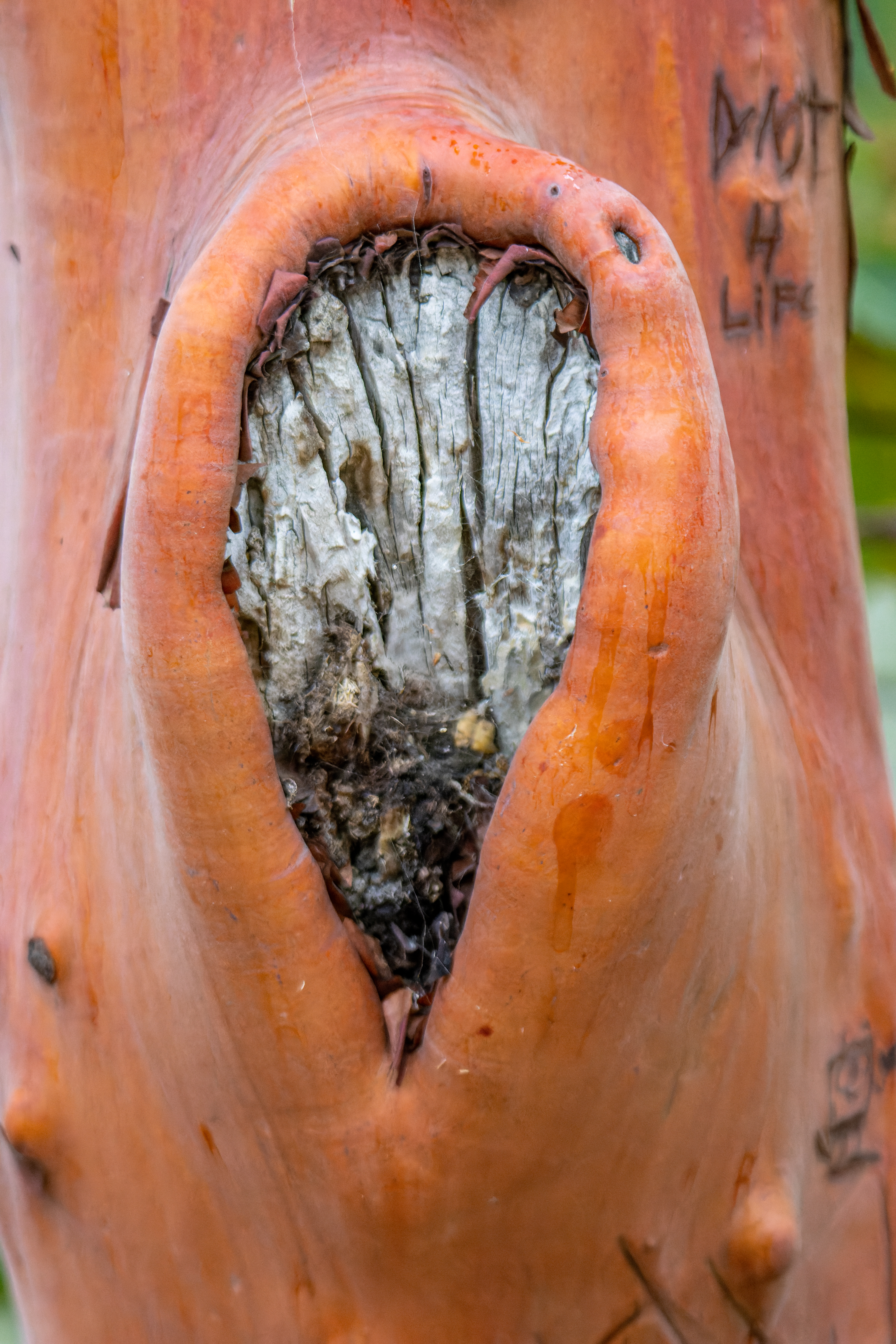
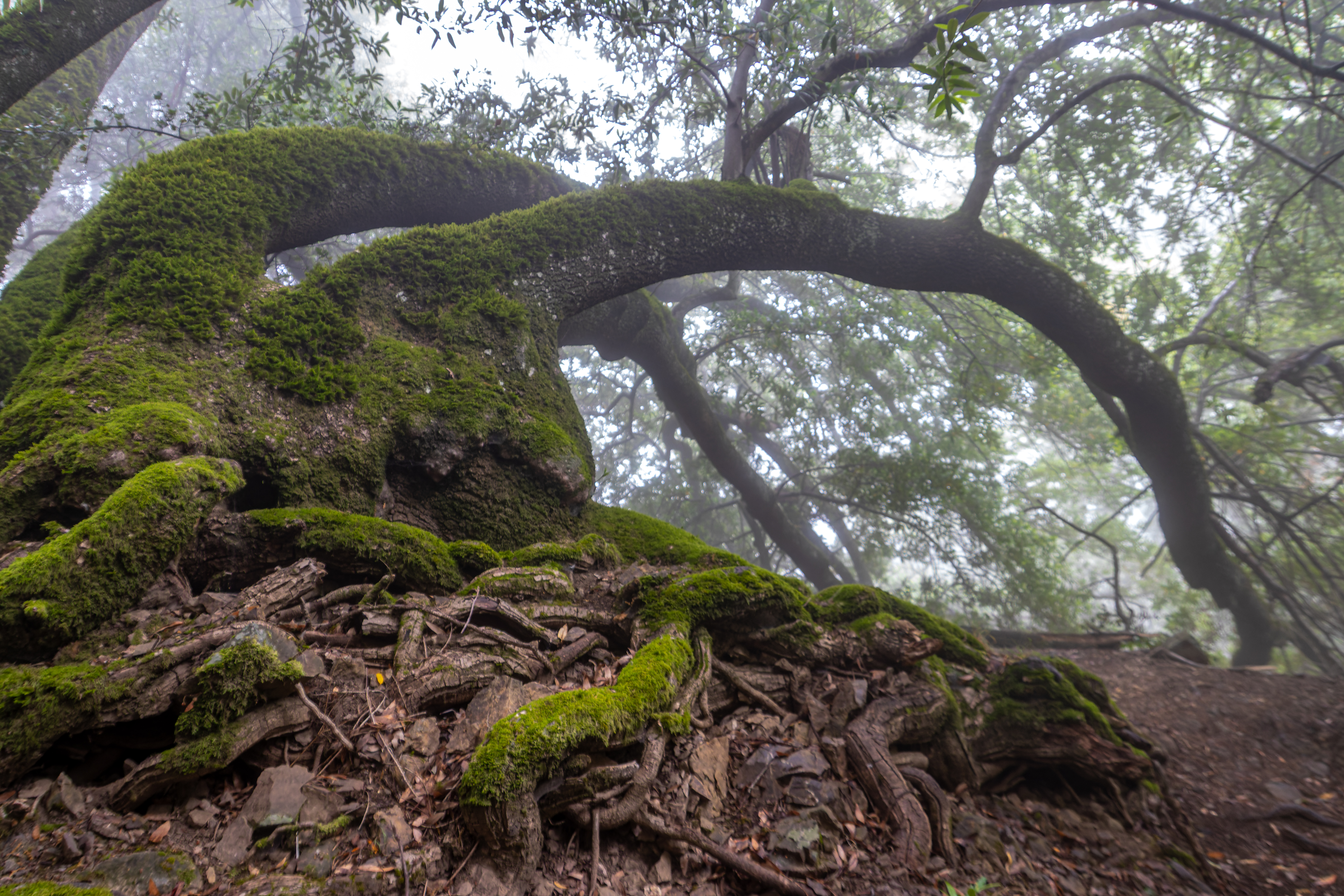
There are many
more things to do, see and trails to hike in this large State Park.
www:
https://www.parks.ca.gov/?page_id=517
Map:
https://www.parks.ca.gov/pages/517/files/mtdiablobrochure.pdf
Pictures:


Comments
Post a Comment