
Introduction:
What? : Small Preserve on the side of hwy 35 just
below the closed viewing point. The trail is going all the way down to the
creek.
Where?
: From the junction of Page Mill road and hwy 35 take north on hwy 35 for 1.2-miles,
pass the close viewing point on your right and park on the left (west) side of
the road. This is good parking place to visit Russian Ridge and for sunset
viewing.
Google Map Link


Due
note: The park is popular by mountain bikes.
My thoughts:
This is not recommended park to visit. Compare to all other attractive parks this
area has to offer Coal Creek Preserve has few hiking options, trail is going
down to the creek below and then you need to climb all the way back to the
ridge.


The
visit:
Overall,
I hiked 5.7 miles -/+ 1,300f, all the way down to the creek below, Alpine Road
Trailhead, and climb up back to the parking lot.

The trail
starts right at the viewing point, it connects to the private road below, keep
go down to the end of the road. From here the trail start.
Keep going
straight at the first junction (we will be back from the left) and after additional
0.5 mile you will reach the main park Alpine trail. Turn left and hike 1.7
miles all the way down to lower Alpine Road Trailhead.
From here
you need to climb up. Turn right up on Cloud Rest Trail and hike to the top of
the hill. The open grassland hill has nice view of the bay area below. From the
hill another 1 mile will take you back to your car on hwy 35.
Another hiking option (Blue) is to start at skyline highway 0.6 mile north of Silicon Valley Vista Point.


www:
https://www.openspace.org/preserves/coal-creek
Map:
https://www.openspace.org/sites/default/files/map_CC.pdf
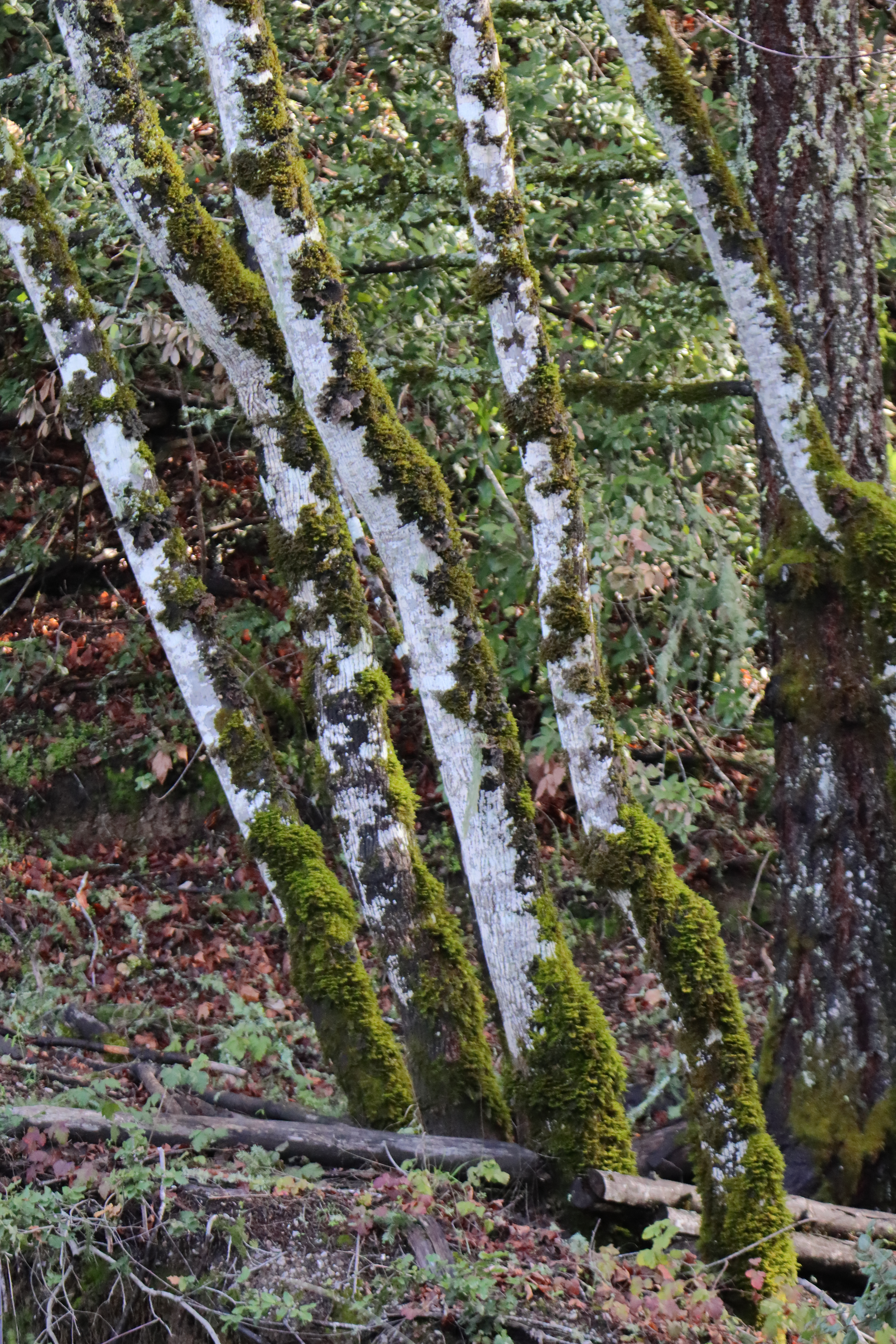
Pictures:


Comments
Post a Comment