
Introduction:
Note: I revisit the park at May 2022, no update
Where?
: 30 minute drive south of Sunnyvale near the 101 & 85 interchange.
GoogleMap Link
What? :
A visit to Santa Teresa County Park includes walking on wide trails in the open
hills, high viewpoints and the Coyote Peak.


When? :
The prefer time is when all is green and not at a hot day (no shade at all at any hiking trail).
Due
note 1: Friendly park for bikers.
Due
note 2: The trails have no shade, so at summer hot day it is recommended to
visit in the afternoon which is less hot.
My
thoughts: This is relatively a small park and without many hiking option. It is
nearby, with south bay view so I recommend a visit it at least once, with few
hr hike you can cover it all.


The visit:
The
park main entrance is in the center parking lot (there are few other trail starting
points).

There
are several loop hiking options:
Very
short (1.5 miles, Red trail on the map):
From
the main parking lot take the Pueblo Trail. Continue with the trail to the left
and go all the way to the small parking point on the road. From there, descend
the Mine Trail and turn left at all intersections until you finally return to
the parking lot.

Long
(3.7 miles, Orange hike on the map):
From
the parking lot descend along the creek on the Rocky Ridge Trail. At the Mine
Trail junction keep straight on Rocky Ridge Trail and after a long ascent (1.8
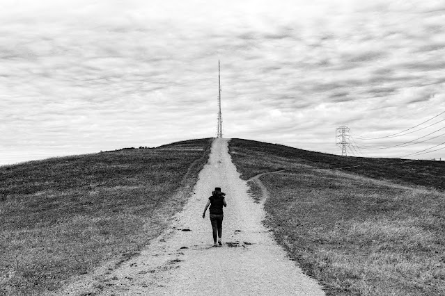
miles) along the ridge you reach a junction with the Coyote Peak Trail.
Turn
left and go up all the way to the beautiful lookout point that overlooks the
entire south valley to the north and to Morgan Hill area in the southeast.

From
this point you can go straight down to the parking lot area on the Hidden
Springs Trail.
An
option to extend the hike from the viewpoint (an addition of about 1 mile to
the route, Purple trail on the map) is to take Boundary Line Trail, after 0.7 miles turn right at the
junction with Ridge trail, keep going on Ridge Trail all the way to Hidden
Springs Trail, turn right and go back to the parking lot.
Another 2 miles loop (that can be combine with other trails, Blue trail on the map):
Hike around the hill of the small detention facility, exit on the Hidden Springs Trail, cross the road and turn left onto the Mine Trail.
Ascend the hill, turn left and cross the road
back, return to the parking lot on the Pueblo Trail.

www:
https://www.sccgov.org/sites/parks/parkfinder/Pages/SantaTeresa.aspx
Map:
https://www.sccgov.org/sites/parks/parkfinder/Documents/Santa%20Teresa%20Guide%20Map.pdf
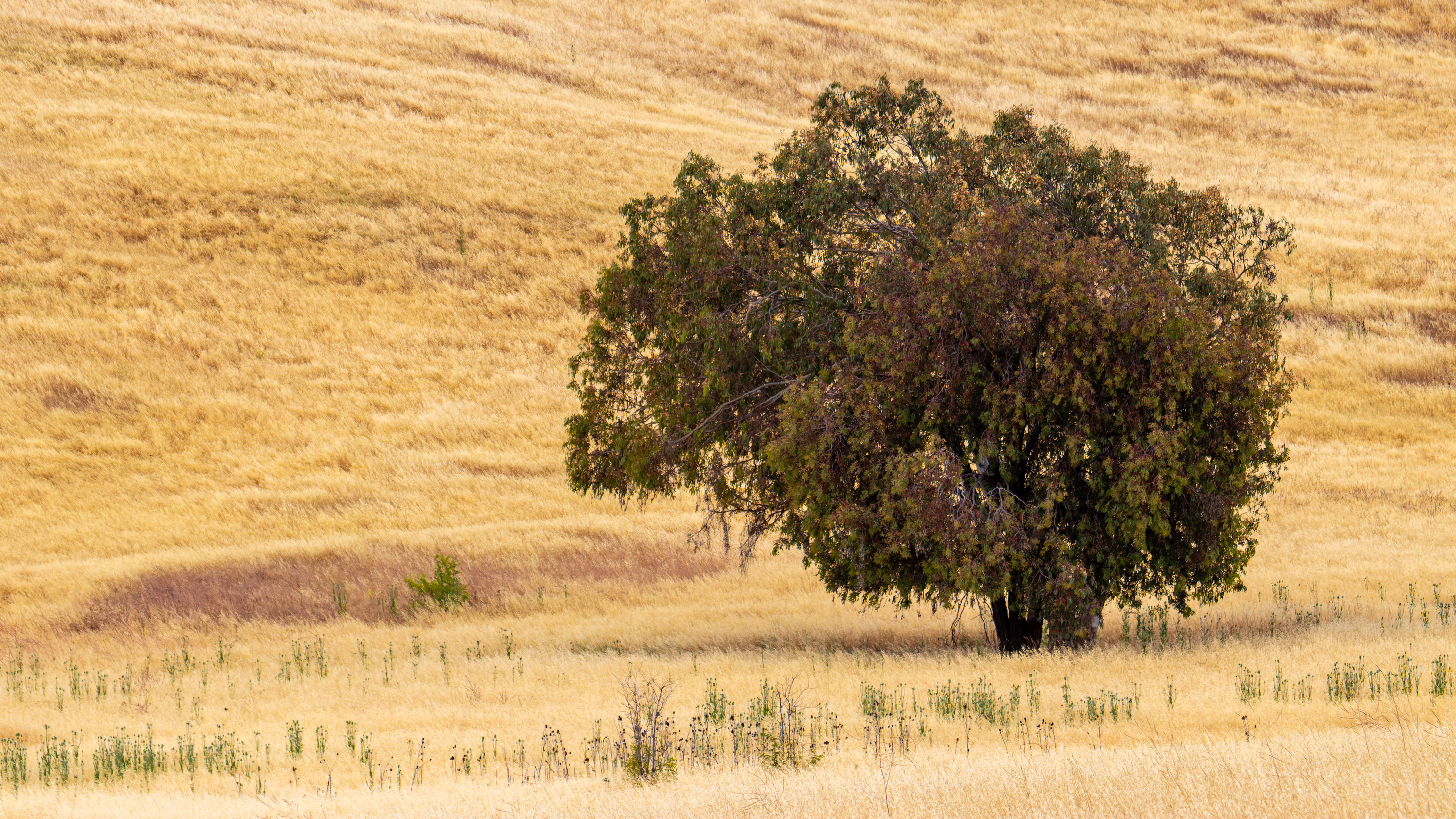
Pictures:


More pictures from my May 2022 visit:


Comments
Post a Comment