
Introduction:
Where?
: The park is located just few mile south on Almaden Expy south of San Jose
Google Map Link
What? :
Very large park covering few mountain range and also has a large lake at the
north part of it.
When? :
Nice winter day and during the spring.


Due
note: the park is VERY popular mountain bike destination so if you are walking
on the main single-track trail it may be annoying.
My
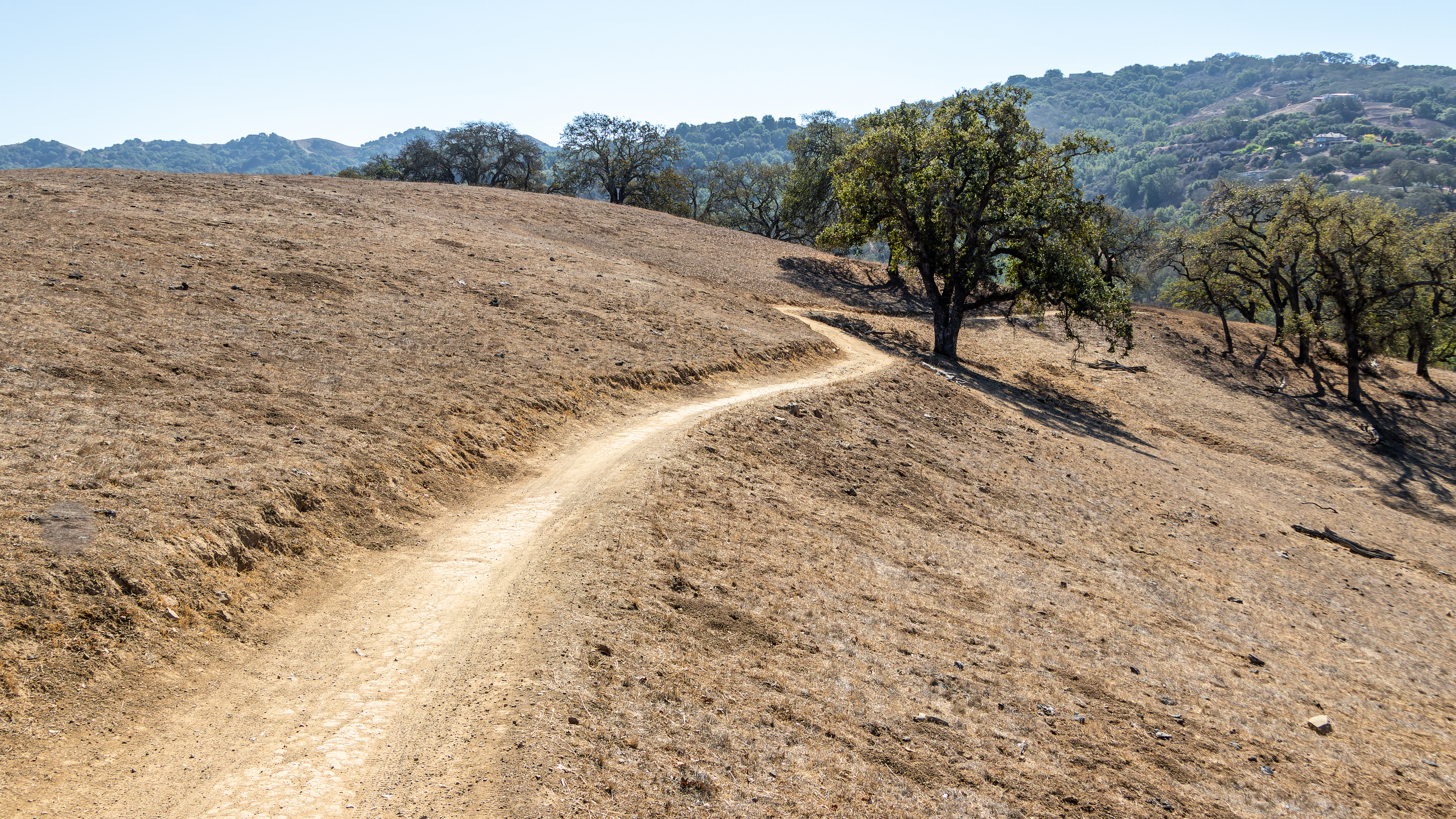
thoughts: Highly recommended park. Large open space with good combination of California
Oak woodland, open space meadows, valleys and large lake.


The
visit:
The visit in this park is highly recommended, a lot to see, many different hike options including long loop routes and is also highly recommended for mountain bikers for very long ride.
The large park has two main entrances Rancho San Vicente on Mckean Rd. in the west and the main Entrance in the eastern part.
In addition, there is the entrance to the Boat Launch and lake shore access (for those who want to go only to the lake).


Rancho San Vicente
western entrance (link to this parking lot):

A short and nice walk on the North Ridge trail (1.7 miles, light blue trail on the map).
This is an open grassland landscape going up the small hills and going back to the parking lot in a loop trail, easy and also good for small kids (no shade at all).

Long loop (8.2 miles, Blue trail on the map):
The main loop hike from this exit is relatively long but not difficult and highly recommended.
From the parking lot, ascend in the direction of the Lisa Killough Trail (turn right and make the turn counterclockwise).
A very nice path that ascends moderately among the trees and open spaces. The trail does not go to the top of the ridge and it surround the central hill, so it is not steep and has shaded sections in the woods. During weekend this trail has many people as well as cyclists sharing the trail.

After the descent the trail contacts to the main road junction and turn left on the Cottle trail towards the lake.
Walk along the lake on the wide path, pass the dam area, pass a small ascent and continue until you reach the beginning of the loop junction; Return to the parking lot.
This is highly recommended trail for those who 8 miles is not too long hike.
Eastern main park entrance
(link to this parking lot):
There are far fewer trails for cyclists., It allowed to ride only at the dirt road along the lake (Oak Cover Trail).

Few hike options:

1. Near the lake (3.7 miles, Orange trail at the map):
Exit the parking lot on the Oak Cove Trail and continue with the trail to the right toward the lake.
At the Los Cerritos Trail turn left uphill along the ridge.
You can keep walking on Oak Cove near the lake to the end of the trail, but it is a long walk (just this section is 3.7 mile).
We went up on Los Cerritos Trail all the way, at the end of the ascent, reach the Pena Trail and turn left, after about 0.2 miles turn left that will take you down to Oak Cove Trail.
Turn right and go back to the parking lot.

2. South loop (3 miles):
From the parking-lot go south on the Figueroa Trail which continues along the nice Calero Creek until you reach two trail junctions one after the other.Pass the first and at the second one turn right and ascend the Vallecito Trail.
At Pana trail turn right and go back to the parking-lot on Oak Cove trail.

This hike can be extended by another 0.8 miles: if you continue straight on the Figueroa Trail along the side creek to the top of the ridge and 4 trails junction.
Here you turn right into Pena Trail, ascending to the hill and enjoy the view from the water tank.
From there is all the way down on Pena and Oak Cove trails back to the parking lot.
Another interesting and nice hike option that can be connected to the above recommended hikes is doing the inner Serpentine Loop hike.
This loop adds about 3 miles hike to your trip. Because of its location deep within the park you will find here fewer visitors.


Mountain
bikers epic ride:

If you really want an epic long ride go all the way into Cuttle Trail and up the Chisnantuk Peak Trail. Connect to Catamount Trail at the top of the ridge.
Here you are crossing into Rancho Canada Del Oro open space.
Go down on Catamount Trail and at the river turn left into Longwall Canyon Trail all the way to the road.
From here 3.5 miles on the road will take you back to the main park
entrance.

www:
https://www.sccgov.org/sites/parks/parkfinder/Pages/Calero.aspx
Map:
https://www.sccgov.org/sites/parks/parkfinder/Documents/Calero%20Guide%20Map.pdf
Additional Pictures:


Pictures from Oct. 2022 visit


Comments
Post a Comment